Leverage modern technology with our precision agriculture services. Utilizing GPS field mapping, drone crop monitoring, and satellite health analysis, we provide variable rate application strategies to optimize inputs and maximize yields. Precision agriculture represents the next frontier in farm management, replacing broad, uniform treatments with site-specific decisions that respond to the actual variability within your fields. Using GPS-based mapping, we create detailed digital records of your land that reveal differences in soil type, elevation, and historical yield performance, forming the foundation for smarter input decisions. Our drone monitoring services provide a bird's-eye view of crop health, allowing us to spot stress, pest outbreaks, or irrigation issues long before they would be visible from the ground, while satellite-based NDVI imagery extends this monitoring capability across even the largest farm operations. This data feeds directly into variable rate application technology, ensuring that seeds, fertilizers, and water are applied precisely where and in the amounts they are needed, rather than uniformly across an entire field. The result is a significant reduction in input waste alongside measurable gains in yield and profitability, driven entirely by data rather than guesswork.
Get Consultation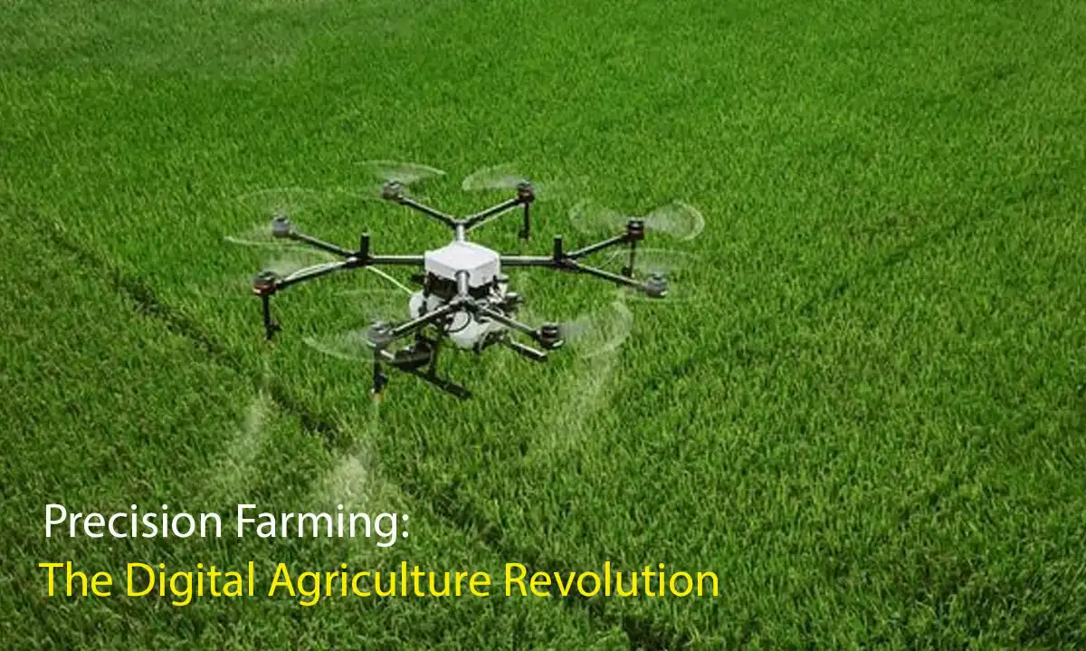
Leverage our expertise to enhance your farming operations with proven agricultural methodologies.
Creating precise field maps for better land management.
Real-time aerial views to spot crop stress early.
Using NDVI imagery to analyze crop health over large areas.
Applying seeds and fertilizers exactly where needed.
Details regarding the implementation, scope, and expected outcomes of this agricultural service.